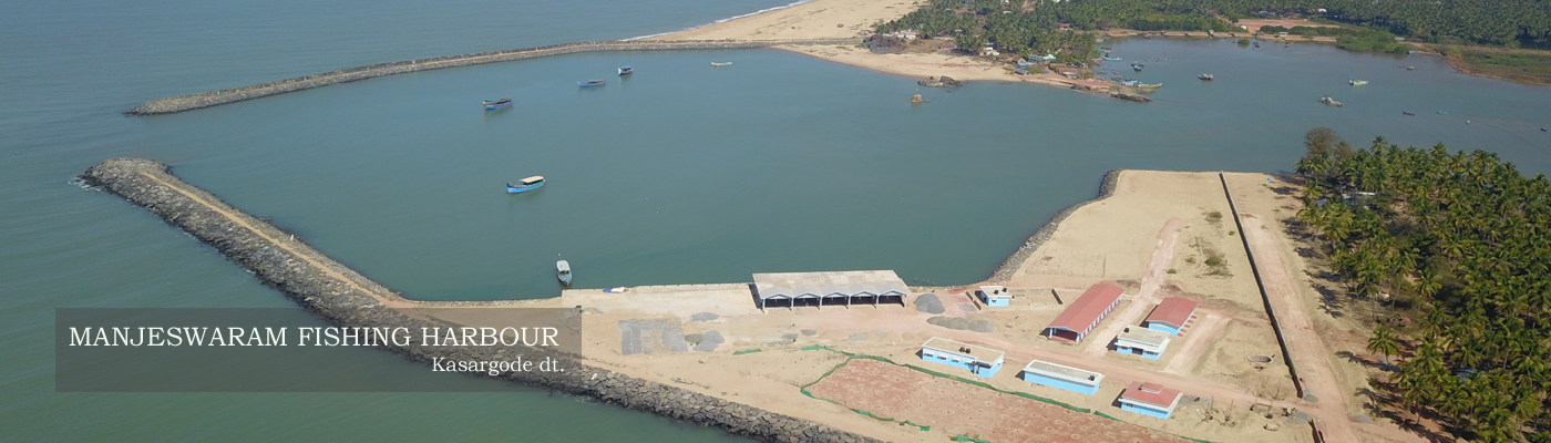


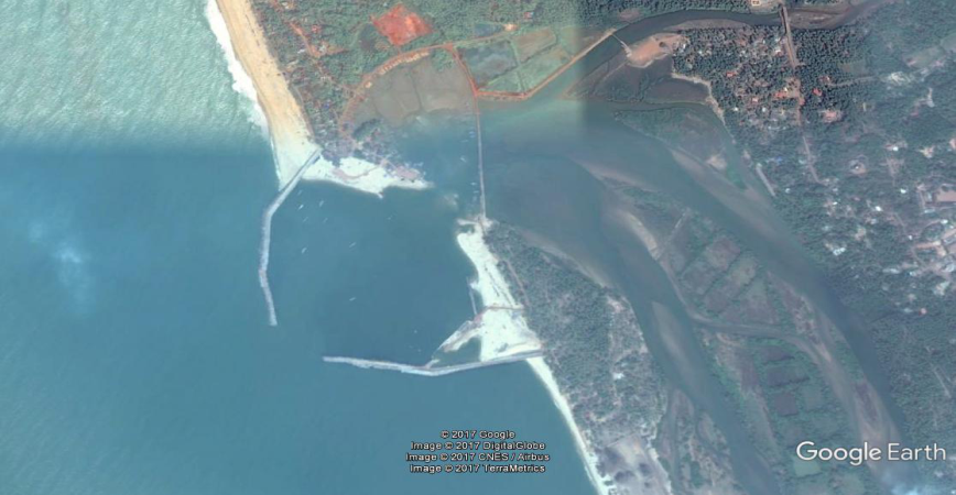
Manjeswaram Fishery Harbour
|
|
|
|
Type of Harbour |
Artificial basin |
|
Location |
LATITUDE - 12.7051 N |
|
LONGITUDE -74.8873 E |
|
|
Nearst Town |
Manjeswaram |
|
Road Access |
3.5 km to NH. PWD/LSGD road exists |
|
Sanctioned date and amount |
A S -. G O (Rt.) no. 324/13 / F&PD, Tvm dt 27-4-2013 for Rs. 4880 lacs. (75% CSS )[No.33013-7/2012-Fy(H) dtd13.03.2013 |
|
Salient Features |
|
|
Area of the harbour basin |
12.5 hectares |
|
Length of breakwater (1) |
490m (S) |
|
Length of breakwater (2) |
530m (N) |
|
Land area available |
2.5 hectares |
|
quay length (m) |
100m |
|
Auction hall (m2) |
600 m2 |
|
Parking area in m2 |
6000 m2 |
|
Internal road in m.
|
750 m |
|
Other facilities available |
Structures to be constructed - Adiminstrative block, net mending shed, work shop, compound wall, Gear shed, shops, canteen, rest shed , toilet facilities, Treatment plant,Water supply arrangements and electrification. |


 Office of the Chief Engineer
 +91-0471-2459365
  +91-0471-2459365
 ce.hed@kerala.gov.in