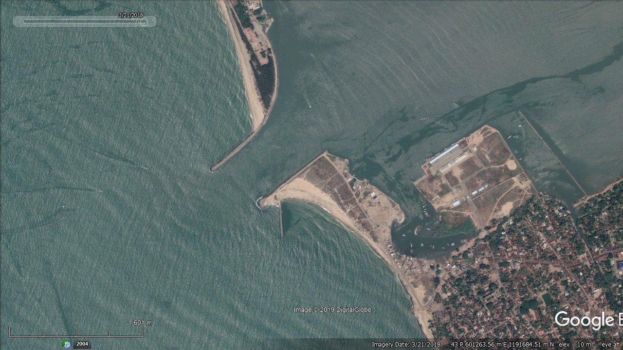
Ponnani Fishery Harbour


|
|
|
|
Type of Harbour |
Esturine |
|
Location |
Latitude: 10 40 N |
|
Longitude: 75 87 E |
|
|
Nearest Town |
Ponnani |
|
Road Access |
Available |
|
Fishing Villages |
7 Villages |
|
Sanctioned date and amount |
G.O.(Rt).No.485/2001/F&PD dtd.12.12.2001, for Rs.2759.40 Lakhs. No.33013-7/91-Fy(H) dtd.06.09.2001 Rs.2759.40 Lakhs |
|
Salient Features |
|
|
Design fleet Size |
9.1 m |
|
Area of the Harbour basin(m2) |
36000m2 |
|
Length of breakwater(1) |
780m (North, Purathur side) |
|
Length of breakwater(2) |
570m( South, Ponnani Side) |
|
Land area available(m2) |
18 Hectres ( Reclaimed land) |
|
Quay length (m) |
240 m |
|
Auction hall (m2) |
1400 m2 |
|
Parking area in m2 |
7500 m2 |
|
Internal road in m. |
6000 m2 |
|
Other facilities available |
|
|
Chellanam Second stage Development |
Canteen, toilet block, locker rooms, Fish storage sheds, Net mending shed, Water supply and Electrification System |

 Office of the Chief Engineer
 +91-0471-2459365
  +91-0471-2459365
 ce.hed@kerala.gov.in